 Stockton High Street possibly photographed from the Town Hall. You can see the Parish Church, Maxwells Corner, Robinson’s Tower and what looks to be gasometers in the distance…c1920s/1930s
Picture Stockton Archive
A Pictorial History of Stockton-on-Tees
This picture is more unusual than it first appears. It seems to have been taken from the Town Hall with some form of early telephoto or long focus lens. Other pictures from the Town Hall do not show the hills on which Norton is built so clearly.
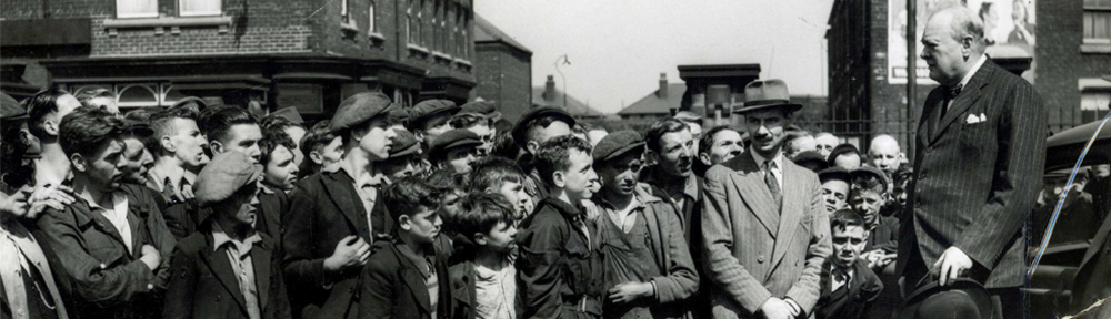
Can anyone date the picture from the buses? The trams seem to have disappeared.
This is more Easterly looking, Billingham is higher than Norton and rises beyond Wolverston there is a steep rise towards Sheraton Lane Ends and Castle Eden. Coming down the A19 from Sheraton you get a clear high view of Billingham Haverton and the River plus part of Stockton.
Where I live now just off Darlington back lane we are 100 feet above sea level, Mill Lane Norton was around 50 feet above sea level. Looking at the buses and cars they were running in the 1930’s and through the war. The War memorial is in place, when was that built? My Uncle Cecil Diddams was a Photographer back then and had an assortment of long lenses for his camera’s so it is possible a very long lens was used.
It is still possible to check where the old Mill Stream which was once the old Roman Canal to the Tees from the Mills and Corn Fields in the Sedgefield Darlington Stockton triangle ran, this was down the bank from the Crooksbarn Farm fields a drop of around 20 feet then another drop of around 15 feet to Billingham Beck, the rise on the Billingham side up the bank to the Green would be seen above Norton.
A battle was fought along the Billingham Bottoms with one side on the high ground on the Norton side, Fulford Farm fields can still be walked on and the difference in height clear to see.
The correct term is gas holder not gasometer, although the height of gas holder does give a rough indiaction of how much gas is in store. The picture seems to indicate that the vertical retorts on Stockton Gasworks, which were higher than the gas holders had not yet been built.
The high building in Norton Road was the North Terrace Wesleyan Church on the corner of Hume Street, the gasometers were in Frederick Street.
Notice all the shop blinds. In those days maybe even today there was a local bye law which stated that at the blinds lowest point it had to be a certain height from the ground.