An aerial view of Stockton showing the High Street on the left and the Arc on the right of the picture. Photograph courtesy of Mr Mark Swainston 
Picture Stockton Archive
A Pictorial History of Stockton-on-Tees
An aerial view of Stockton showing the High Street on the left and the Arc on the right of the picture. Photograph courtesy of Mr Mark Swainston
The start of the one way system in Stockton would be approx 1970. On the west side of the High Street you travelled as far as Wellington Street where you turned left, up Wellington Street where you turned right at the junction with Nelson Terrace. They put traffic lights at this junction. Then at Bishopton Lane you turned right again going towards the High Street but turning into Norton Road. The Prince Regent Street part from Yarm Lane was introduced later on and also the River Road. Additions to this re. Maritime Road and the road from Bishopton Lane to the top of Tilery Bank again at a later date.
I seem to remember an early article in the Gazette at the time of some crazy idea that the buses would traverse up one side ie The Nelson Terrace side (all one way) and down the other ie The Riverside (again one way).
Does anyone know what the thinking was in terms of the new road layout, especially to the West side of the town? The new road, through the Nelson Terrace area just seems to duplicate that what was built over old dockside, and seems to be have made the old town centre into a sort of island.
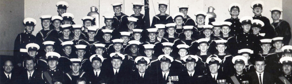
Any pictures of the Arc? This was the only one I can find.