 An aerial photograph of Thornaby-on-Tees. In this view you can see Victoria Bridge connecting Thornaby and Stockton, Thornaby Railway Station and engine sheds (51L), the ‘Wilderness’ Road, and Stockton Racecourse where Teesside Park now stands.
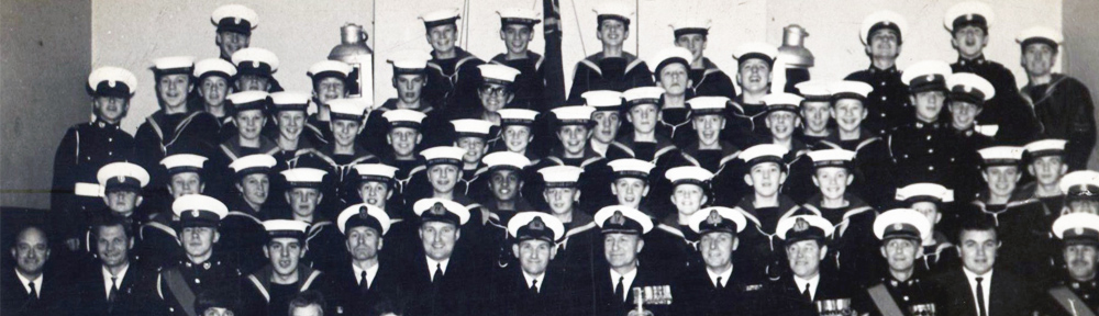
Picture Stockton Archive
A Pictorial History of Stockton-on-Tees
An amazing picture from the mid-sixties. Thornaby Station roof as it then was.
I think the picture title needs to be changed
Are you sure its 1978 I thought the demolition had started by then
I can see my old house on Eldon Street, at least I can see the large Baptist Church that stood opposite us. It’s definitely the 60’s, you can see Stockton Racecourse main stand. The allotments at the bottom of Brewery Bank are derelict, mind you I think they closed about 1960! Lots of good old memories of my childhood here before the Council decided to put the A66 through ‘our house’ number 3 Eldon Street.
Hi Michael, we lived at 11 Eldon Street – Robert, Maureen, Peter, Vincent, ME, Jimmy, Elizabeth. Have you any idea what that garage was called near where we lived on Mandale Road?. How are you and Graham, Anne, Peter, Jane doing?
Christine Brignall Conlan
This picture is definitely pre mid 60’s.You can make out the Bon Lea Foundry in the middle of the picture, but there’s no sign of the storage building built on the other side of Wilson street (east side). I can vaguely remember the storage site being built, and if I was to guess I would say it was built around 1965-6. As a kid in the mid 60’s I used watch the worker’s playing football in Wilson street, during their lunch hour. I can still remember the sound of the “casey” football used to make as it ricochet off the wall. The lads would play in steel-capped boots, and have jumpers for goal posts, and usually be covered muck and dirt.
My guess is early to middle sixties. An important clue is the slag heaps between Thornaby station and the river. I seem to recollect that these had disappeared by 1970, probably being used for road construction. But the picture has to be after about 1955 when the rail marshalling yard was rebuilt, and a new “high speed” rail track was laid out next to the main road between Thornaby and Newport. Top speed along this stretch was 55mph in the new diesel multiple units.
But it is an amazing picture. The piers of the Transporter Bridge can be seen and even the tank farm on the north side of the Tees estuary in the very far distance. The Billingham Branch line can just be discerned.
Could the picture have been taken during the key Stockton by-election of about 1962, when the Mayor of Stockton extolled the green fields lying between Stockton and Middlesbrough as being the lungs of Teesside?
I think this photo was taken along time before 1978, there is no A19 flyover which was completed in 1976 for a start and so much else has changed it is almost unrecognisable from what it is today.
No sign of the A19 Tees viaduct finished constructed 1973-75. Thornaby Place looks like it’s housing, wouldn’t Thornaby House had been built there by early 1970’s?
No sign of Portrack so the Newport Bridge looks like a bridge to nowhere, but is that the curving Billingham Branch line and bridge surrounded by open fields?
I spy the Bridge Hotel (demolished 1970?), Cleveland Hotel (Dubliners), Thornaby Town Hall, Pumphrey’s Jam/Lemon Curd/Icing Factory, houses and streets between George Street and Queen Street instead of the A66 (no wonder there’s a housing shortage!) and the Transporter Bridge. It wouldn’t be complete without the industrial view all the way to the coast.
Please say there’s a few more in this sequence – showing the rest of the town…