 Attached is a photograph of my father and an aerial view of Thornaby Airfield.
My father, Ronald Smiles was born in Crook Town, Co. Durham and served in the RAF at Thornaby in the Second World War as airfield controller. He later gained the rank of Sergeant in the RAF.
Photographs and details courtesy of Ian Smiles.

Does anyone remember the two storey hexagon shaped pillbox just off Basselton Lane? As you approached Basselton Lane from the Village Green, it was about a third of the way up the Lane in a field on the right hand side near to Basselton woods and from the top story you had a clear view of the River Tees Horse Shoe bend etc.., I wonder if it is has been preserved as part of the Airfield history… now the area is all built up housing… so was it demolished or is it hidden in some ones back garden?
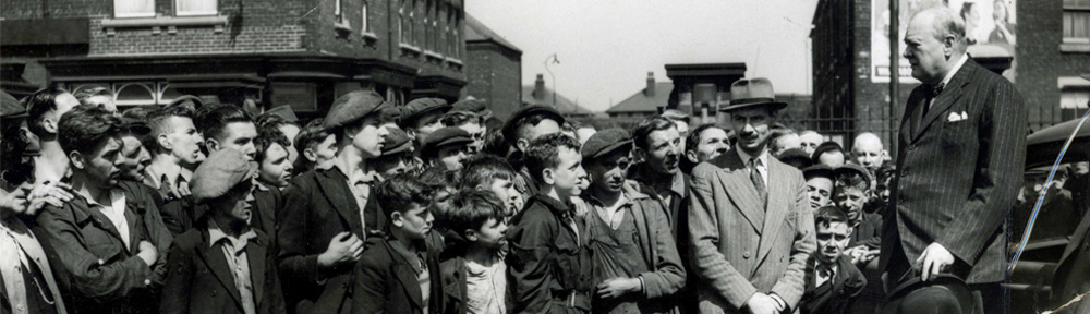
After the R.A.F finished use of the air field the M.O.D. put up “no entry ” signs, and left it unused for years.
However it did not stop us motor cyclists from gaining access and “burning it up” around the run ways.
I believe it was colloquially known as “tear arsing”
Splendid fun.
Does anyone know what the concrete patch on the grass outside Hudson House near to the bus stops is? There’s also a metal covering slightly east of it, that when the covering is removed reveal what appear to be steps?
Any help greatly appreciated!
Thornaby Short Distance Racing Pigeon Club used the Thornaby RAF airfield for Sunday morning liberations and races. The Secretary lived in Gilmour Street, in a house opposite the recreation ground. The pigeons had rings on their legs beginning with SDU, Short Distance Union, or NU, Northern Union, then the number of the bird, a typical number would be NU 1944 – 38540. Nationally a number of homing pigeons won Dickens Medals for bravery with the RAF, they flew home carrying message from downed aircraft (actually from rubber dingies in the North Sea) attached to their leg by the crew giving their location and bearings.
Does anyone remember the large concrete “Pill Box and Air Raid Shelter”, near to the number 29 on the photo, where dozens of children stood on top of it during and after the war, to wave to, and to watch the bombers take off? This air raid shelter was about 800 yards from Littleboy Park, and found by walking down “Lovers Lane”, which ran alongside the park (it was at the end of it) and further on, was ‘Blue Bell Wood’, famous in Thornaby for the collecting of bluebells in spring. In the deep ditch that ran alongside the airfield at this end was the airfield waste tip, mostly full of packing cases and unwanted RAF goods, including a find of an massive aircraft wheel, tyre and undercarriage. My father Jacob Wilson served on the camp, and manned the anti-aircraft guns there. He had been transferred from RAF Filton, Bristol.
All the numbers on the runway thresholds, apart from 29, were re-numbered in the 1950’s,
23/05 to 22/04
18/36 to 17/35
29/11 to 29/10
Not sure this is possible to leave 29 as was, as the numbers are the headings of the runways, each being 180 degrees, ie reciprocal, to the number at the other end. Take one heading from the other and you will always get 18. Unless your runway is bent!
Thanks for pointing that out, yes, quite right, the E/W runway was originally numbered 28/11, not 29/11 as i previously said, it later changed to 29/10.
Cheers.
I’ll probably be digging a deeper hole here, i just took another look at this and it was the headings in this particular photo which i was going off. So, the numbers i wrote in the first post did change as stated, 29/11 to 29/10, and so on, and yes, you’re right in what saying about the 180 degrees. To add to the confusion, sometime post war the headings changed to 28/10 (not 28/11 as i said above) and then back to 29/10 – bent runway? Hey, that’s Thornaby-on-Tees!
P.S. the numbers i got from photo’s.
Love the photo of the airfield and our house is on it in millbank lane hoping to get a copy from SBC library and look closer at it.
My recollection is that by 1957 only one runway was in use. Would that have been the one which looks like it is running roughly north-south, but was actually running in a southwesterly direction? And wasn’t this runway extended so it could deal with Hawker Hunters, which had a higher landing speed than the Auxiluary Airforce Meteors and Vampires?
The main runway was 05/23 which like the other two , 18/38 and 11/29 were extended during wartime as they can be seen to go beyond the original airfield perimeter track with the new peri-track clearly seen en-circling the airfield . I suspect the whitening on the thresholds of both 05 and 11 may be due to strengthening rather than further extensions ?
The only post-war extension I am aware of was the building of a new Aircraft Servicing Platform (ASP) in front of the C Type Hangars , brick hangars , and that was in 1952 for the benefit of 608’s Meteor and Vampire aircraft .
By coincidence the main runway at Teesside Airport is also on a 05/23 heading !
All runways were operational until closing and none had been extended since the war. There’s an aerial photograph of a Hunter which has just landed on runway 18/36, it’s turning around before reaching the peri track, so plenty of room for a Hunter!
Can anyone make out what are the four engined aircraft… Liberators?
From the tail layout, I would guess that the two aircraft in the centre of the picture are B17 Flying Fortress from No. 1 OTU who where based at Thornaby from March to May 1943. The others could be Liberator and Halifax from No.1 OTU which had a twin tail layout. The photo is not clear enough to definately identify.
I am 64 now, and can remember riding from Billingham on a bike with my dad to an airshow, if I remember correctly there was a Comet there.
Charles, If you follow this link – http://picturestocktonarchive.wordpress.com/2006/02/20/raf-thornaby-on-tees-1946-1958-4/
It has a comprehensive list of participating aircraft in the 1957 show including the Comet.
I’m 62 now, and I remember riding from Middlesbrough to the airfield to get to work at Neshams, we used one of the old hangars as a Ford Truck repair dealership… also remember the bus loads of girls who worked opposite at Hintons.